New clients · first shoot · homes up to 2,500 sq ft
Photo
Regular $99
Photo + Drone
Regular $139
Aerials · Orlando & Central Florida
Drone Real Estate Photography in Orlando
Some listings can't be sold from the ground. Show the lot, the water and the neighborhood from above.
Photo + Drone adds drone photos of the home, the lot and the area to our HDR real estate photography package, flown by an FAA Part 107 certified pilot.
No payment to book · Preview in 24–48 hours
Made for this market
Show buyers what the ground can't.
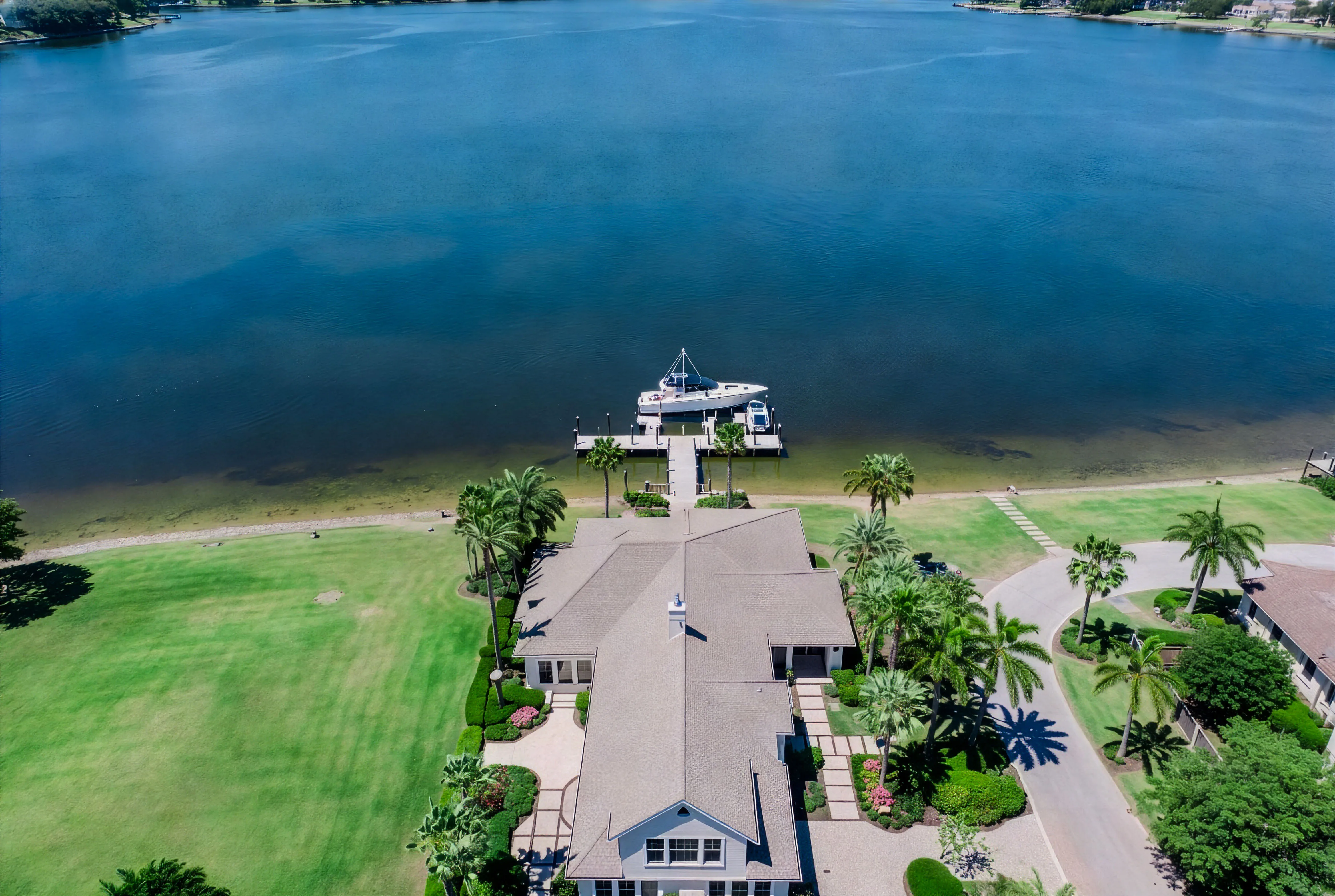
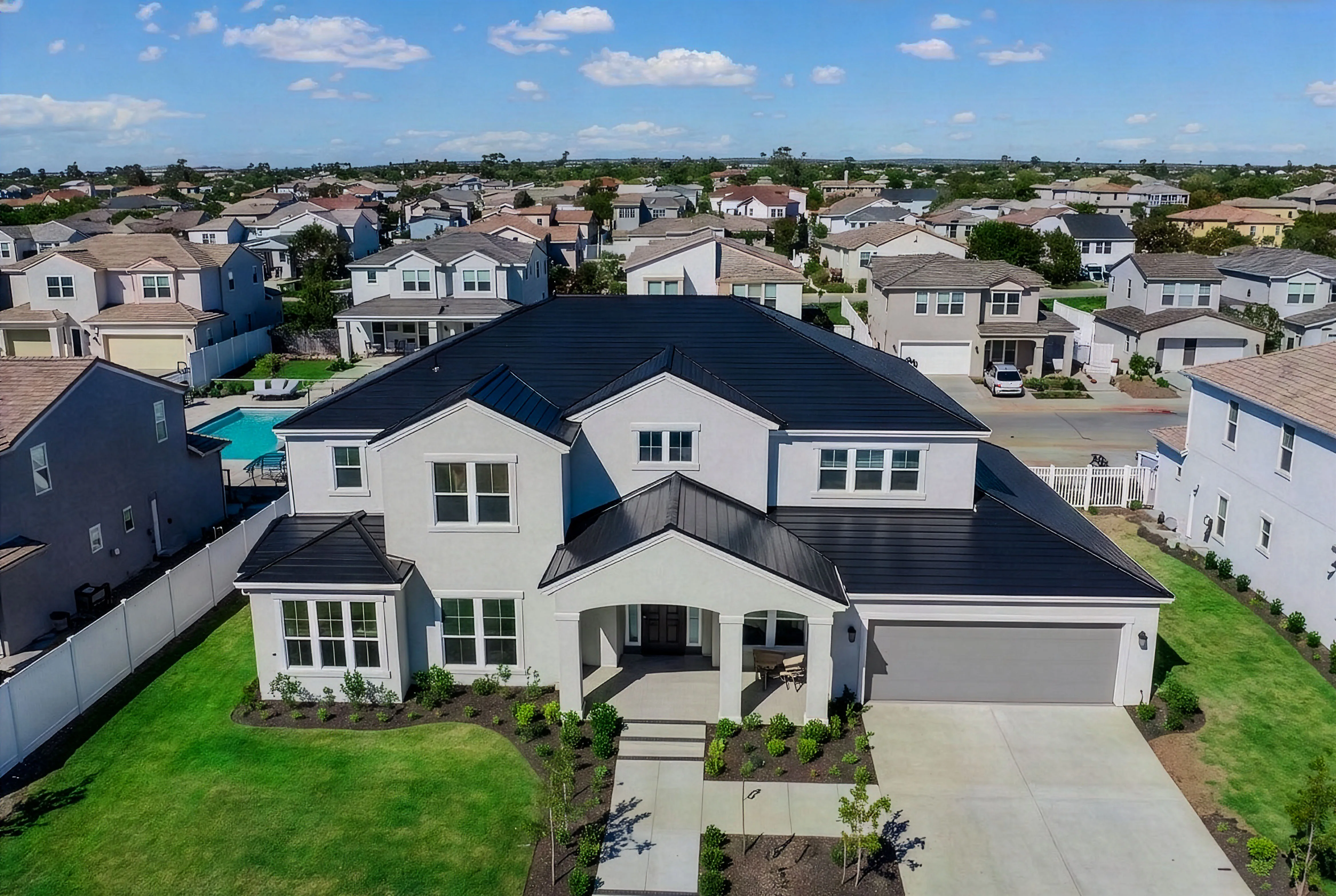
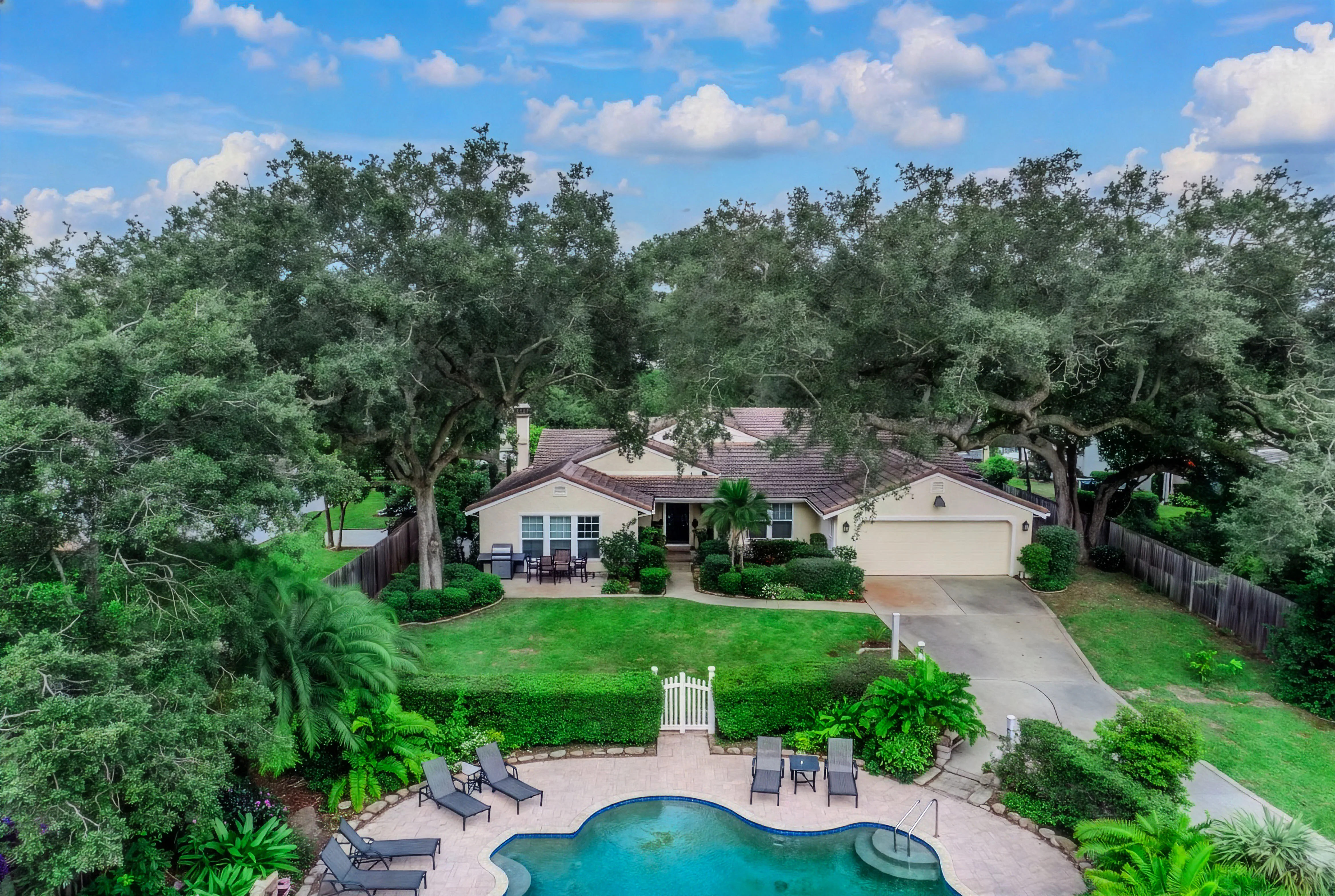
Lot lines, water access, the pool and lanai, the street and what is nearby are hard to understand from ground-level photos. A few well-placed aerials answer those questions before the showing.
When it helps
When drone photos make the biggest difference
- Lakefront and waterfront homes, where the shoreline and the dock are part of the value.
- Acreage and rural lots, where buyers need to see the size of the land, fences and outbuildings.
- Pool homes and homes backing onto conservation areas, golf courses or ponds.
- Homes in master-planned communities, where parks, pools and trails nearby are part of the lifestyle.
- New construction, where the position of the lot in the community matters.
Pricing
Photo + Drone pricing
Photo + Drone is $139 for homes up to 2,500 sq ft, or $99 for a new client's first shoot (you save $40). It is $40 more than Photo on its own. Homes from 2,501 to 3,500 sq ft add $19, homes from 3,501 to 5,000 sq ft add $29, and homes over 5,000 sq ft get a custom quote.
Every package includes HDR photos, a 2D floor plan with total square footage (floor plans are approximate), two twilight digital edits and a free property website. Add Community photos for $49 to include photos of the community itself, with drone. Drone video is part of Social Premium ($349). Compare every option on the pricing page.
Airspace
FAA Part 107 and Central Florida airspace
Commercial drone photography falls under the FAA's Part 107 rules, and our pilot is Part 107 certified. Central Florida has busy airspace around Orlando International Airport, Kissimmee Gateway Airport and other airfields, so drone flights are checked for airspace availability.
If you are not sure whether your address is a good fit for drone photos, call or text (407) 890-8748 before you book.
Areas
Where we fly
We fly listings across Central Florida, including St. Cloud real estate photography on the lakes and acreage south of Orlando, Kissimmee real estate photography for vacation and pool homes, and Lake Nona real estate photography in its master-planned neighborhoods.
Questions agents ask
Frequently asked questions
Is your drone pilot licensed?
Yes. Our pilot is FAA Part 107 certified for commercial drone flights.
How much does drone real estate photography cost?
Photo + Drone is $139 for homes up to 2,500 sq ft, or $99 for your first shoot as a new client. Larger homes add $19 or $29, and homes over 5,000 sq ft get a custom quote.
Can you fly near Orlando International Airport?
Some areas near airports are controlled airspace. Drone flights are checked for airspace availability, so call or text (407) 890-8748 if you are unsure about your address.
Are the regular photos included?
Yes. Photo + Drone includes everything in Photo: HDR interior and exterior photos, a 2D floor plan, two twilight digital edits and a free property website, plus the drone photos.
Do you offer drone video?
Drone video is part of Social Premium ($349), which includes a YouTube listing video. The $49 listing video is a horizontal gimbal walkthrough set to music.
Simple from the first click
Review first. Pay after.
Book online with no payment due at booking. Your watermarked preview is typically ready in 24–48 hours; pay after review to unlock full-resolution, MLS-ready files.
Aerials for your listing
Does the lot sell the home?
Photo + Drone adds aerials of the home, the lot and the area, flown by an FAA Part 107 certified pilot. Previews in 24–48 hours.
- FAA Part 107
- Lot and area aerials
- 24–48 hour previews